Paris · its history and its architecture, building by building
Your city is your whole world.
Live it to the fullest.
What happened behind every front in Paris, and how each one was built, on a living 3D map where all 128,175 buildings are dated. Guided walks talk you round with a voice in your ear, and a pocket mode speaks up only when a landmark is near.
Opens in your browser. Works offline once loaded. No account, nothing tracked, nothing sent anywhere.
- 0buildings, dated and in 3D
- 0with a page of their own
- 0things that happened here
- 0walk stops, read to you
- 0corners, then and now
- 0minutes of film
Watch Paris get built
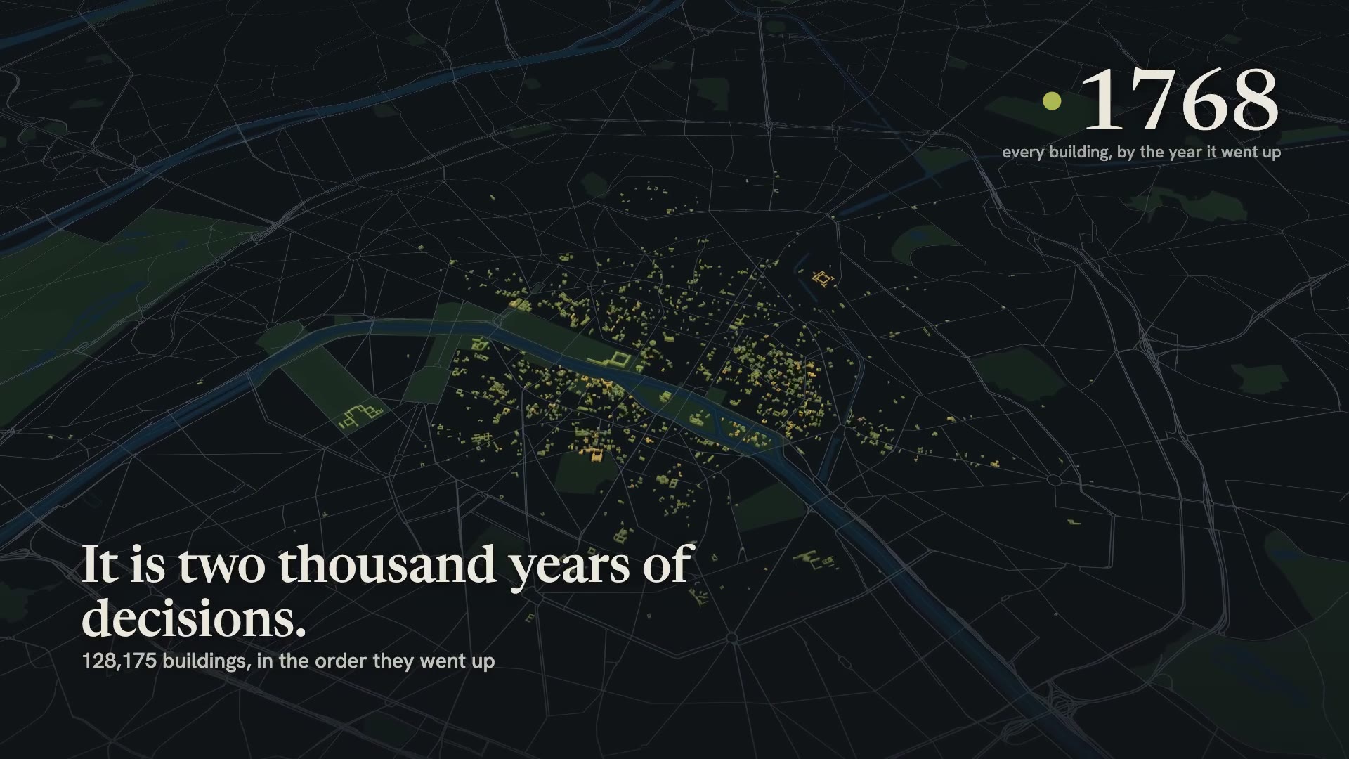
Two thousand years, in the time it takes to boil a kettle.
Every building rises in the order it was built, coloured by its year, from the island out to the ring road. Drag through the centuries, or let them play.
- The whole city, or the block you are standing on
- Lenses for mansard roofs, towers, everything before 1800
Start here · the eight-minute film
Six decisions made Paris look like Paris.
An island, four rings of walls, a straight line drawn over four centuries, Haussmann, the show-off years around 1900 and a height rule written after a fright, played out on the living map in eight minutes.
Every building is a door
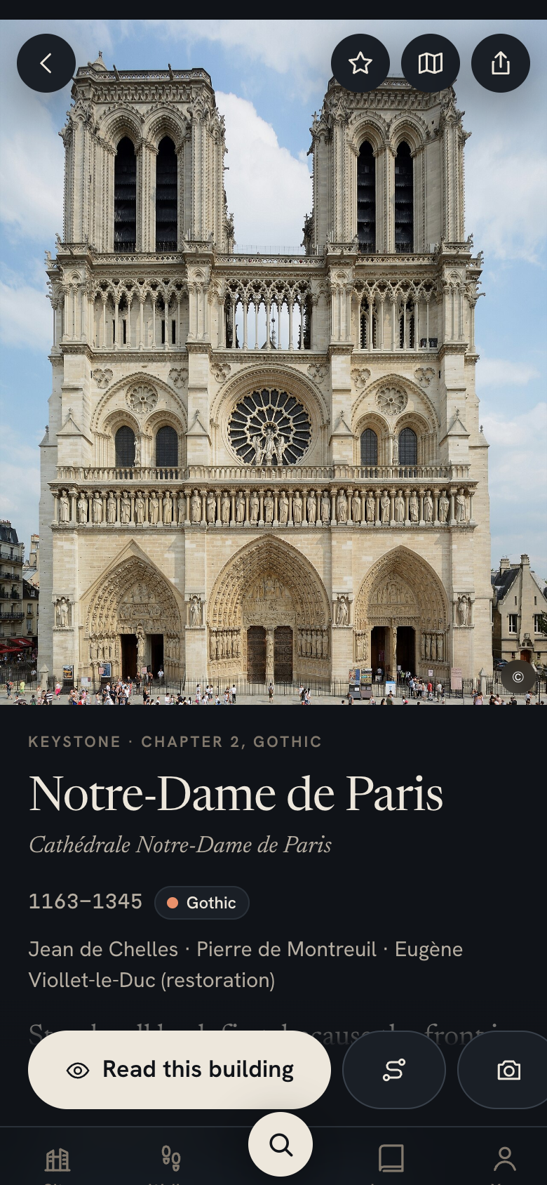
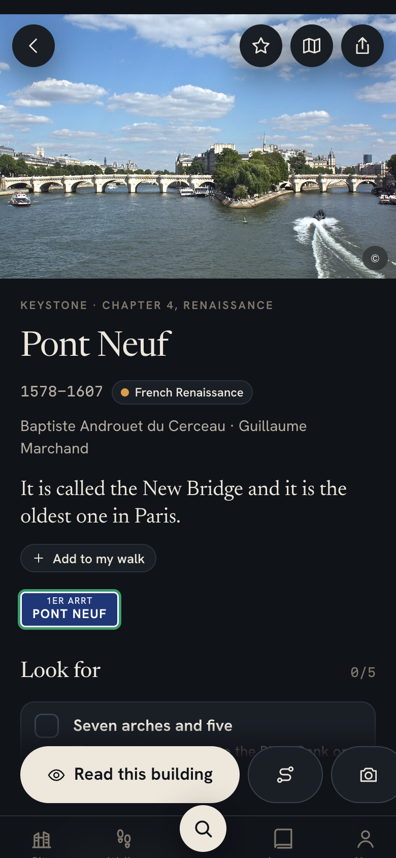
Tap any building on the map. Its whole story opens.
1,415 buildings open to a page of their own, with the year and the architect, a timeline of what happened there and the trace it left, three things to find with your own eyes, and old photographs beside new ones.
The cannonball of 1830 is still in the wall of the Hôtel de Sens and the shell marks of August 1944 are still on the École des Mines, and the app shows you where to look.
- Search in plain words: “medieval churches in the Marais”, “art deco pools”
- Save a place, or add it to a walk of your own in one tap
Then and now
Slide any street back a century.
On 120 corners an old photograph lies over today’s view. Here is the avenue de l’Opéra being cut through in 1877, photographed by Charles Marville: drag the handle.


Guided walks
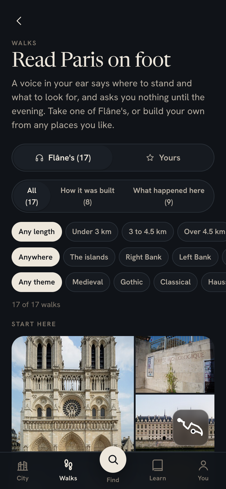
Walks. A voice in your ear, and nothing to read on the way.
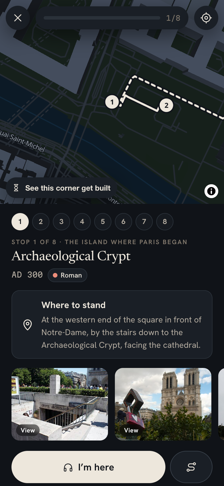
A recorded voice tells you where to stand, then what you are looking at, and starts by itself at each stop, so the phone stays in your pocket. Some walks follow how the city was built, others what happened in it, from the Revolution to the Liberation.
 How it was builtThe new Paris, across the riverThe 13th and Bercy · 4.8 km · about 2 h · 8 stops
 How it was builtIron footbridges and the working eastCanal Saint-Martin and République, 10th · 4.1 km · about 2 h · 8 stops
 What happened hereThe Commune, 1871: the week Paris burnedHôtel de Ville to Orsay, 4th, 1st and 7th · 4.7 km · about 2 h · 8 stops
 What happened hereThe Occupation and the Liberation, 1940 to 1944Montparnasse to the Marais, 6th, 5th and 4th · 4.7 km · about 2 h · 8 stops
 What happened hereFour centuries of kings, in a straight lineLouvre and Palais-Royal, 1st · 3.1 km · about 1.5 h · 8 stops
 What happened hereMedieval Paris, the city inside the wallMarais and Latin Quarter, 2nd to 5th · 5 km · about 2 h · 8 stops
 How it was builtThe hill that stayed a villageMontmartre, 18th · 1.6 km · about 1.5 h · 8 stops
 What happened hereParis of the Revolution, 1789 to 1794Bastille to Concorde, 4th, 1st and 8th · 5.2 km · about 2 h · 8 stops
 What happened hereWriters’ Paris: the addresses behind the booksLatin Quarter and Saint-Germain, 5th and 6th · 4.4 km · about 2 h · 8 stops
 What happened hereThe island where Paris beganÎle de la Cité · 2.2 km · about 1.5 h · 8 stops
 What happened hereHôtels and the royal squareThe Marais · 2.7 km · about 1.5 h · 8 stops
 How it was builtFive centuries in one square kilometreLes Halles and Beaubourg · 2.3 km · about 1.5 h · 9 stops
 How it was builtHaussmann’s stageOpéra and the Grands Boulevards · 3.8 km · about 1.5 h · 8 stops
 How it was builtSaint-Germain and the LuxembourgSaint-Germain-des-Prés · 2.8 km · about 1.5 h · 8 stops
 What happened hereFrom Lutetia to the Arab WorldLatin Quarter and Jardin des Plantes · 5 km · about 2.5 h · 12 stops
 How it was builtThe Eiffel axis7th arrondissement · 5.9 km · about 2.5 h · 10 stops
 How it was builtCurves and white cubesPassy and Auteuil · 4.4 km · about 1.5 h · 8 stops
Or build your own
Pick any places. Flâne makes the route and does the talking.
Search for anything, tick as many places as you like or add a whole group at once, and Flâne orders them into the shortest route on foot and reads each stop to you.
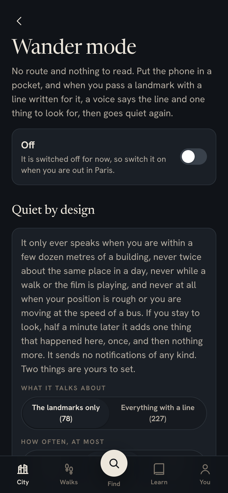
Wander mode
Put it in your pocket. It speaks when it matters.
Walk wherever you like. When you pass within a few dozen metres of a landmark, a voice says one line about it and one thing to look for, then goes quiet.
- Only the landmarks unless you widen it, so a quiet street stays quiet.
- At most one line every eight minutes, and never twice about the same place in a day.
- Never a notification. Nothing buzzes, nothing pops up, nothing is sent anywhere.
An hour in the Marais usually hears three or four lines.
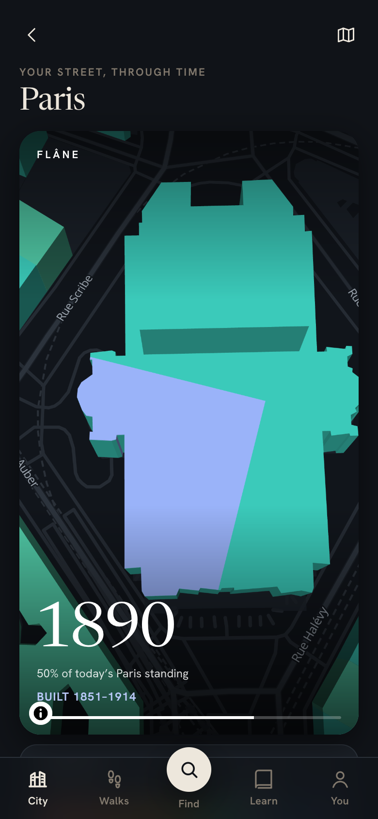
Your street, through time
Type any address. Get a six-second film of your street being built.
Your hotel, your flat or the café you keep going back to: Flâne rebuilds the block from the first stone to today and makes a vertical film you can send to anyone.
Learn · deep dives, two ways in
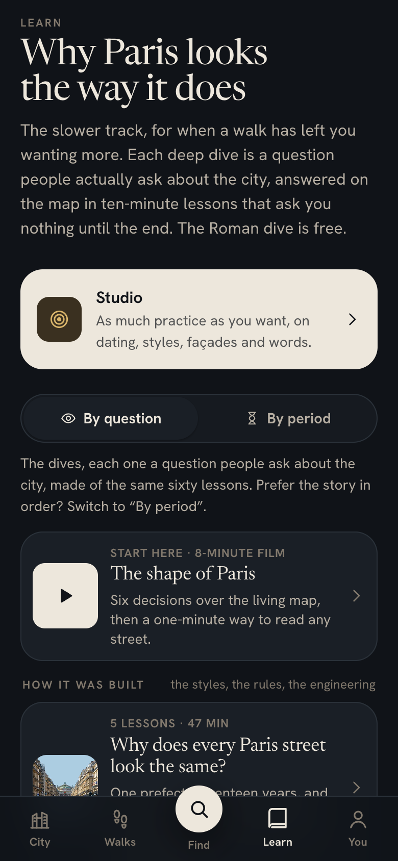
Why Paris looks like Paris, and what happened here.
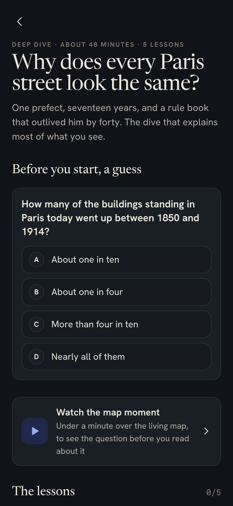
Each deep dive answers a question people actually ask about Paris, with a moment on the living map, short lessons and a quiz that earns a badge. Some are about how the city was built, others about the people and the events.
How it was built
The strange ones
Two dozen buildings that make people stop and ask what on earth that is.
 A Chinese pagoda on a Haussmann streetRue de Courcelles, 1926
 The strangest door in ParisAvenue Rapp, 1901
 The block the neighbours called derangedCastel Béranger, 1898
 A church made entirely of cast ironSaint-Eugène, 1855
 A building hung from a steel frameFondation Avicenne, 1969
 A swimming pool built like a linerMolitor, 1929
 A cannonball from 1830 still in the wallHôtel de Sens, 1475
 A wall of 240 camera shuttersInstitut du monde arabe, 1987
Each area of oddities becomes a walk of your own in one tap, and wander mode points them out as you pass.
Made for the way a visit actually goes.
Watch the film on the sofa and plan your days with a trip card.
A guided walk or wander mode, with the phone in your pocket and nothing to read.
A recap of the day, and the deep dive that explains what you saw.
The street films you sent, and a city you now know how to read.
Written by hand from the sources and checked against them, with no adverts inside.
One price, no subscription
Start free. Keep it for $29.
The map, the film, the first walk and three readings a day stay free. The Paris Pass opens everything in Paris for good, for less than one guided tour.
Questions people ask
Is it an app? Do I need the App Store?
Flâne is a web app. Open the link, and if you like it, add it to your home screen from the browser’s share menu. It then opens full screen like any app, keeps working offline once it has loaded the map around you, and takes up no room in a store queue.
Do I have to be in Paris?
No. The film, the living map, the time-lapse, the deep dives and the then-and-now corners work anywhere, and most people watch the film before they fly. The walks and wander mode are for when you are there, and a pretend walk lets you hear them work from your kitchen.
Is it for visitors or for people who live there?
Both, and the app asks which you are. Visitors get a trip card and the start-here walks. Parisians tend to go straight for the strange ones, their own street through time, and the dives that explain the things they have walked past for years.
What happens with my data?
Nothing leaves the phone. There is no account, your progress lives on your phone, your position is used on the phone to know what is near you and is sent nowhere, and there is no advertising inside.
Who wrote it?
One person who loves cities, with the readings written by hand from the sources and checked against them, the buildings dated from the city of Paris’s own open data, and the photographs from Wikimedia Commons with their authors credited. Where a fact is uncertain, the text says so.
What if it is not for me?
Try the free part first, and take your time. If you do buy and change your mind, write to us within fourteen days and we refund the full amount without asking why. Payments go through Stripe, and the email you give at checkout brings your purchase back on another phone.
Your city is your whole world.
Live it to the fullest.
The history and the architecture of Paris, building by building, in your pocket.
Try Flâne free, no downloadParis now, and other cities to follow.